

An international problem
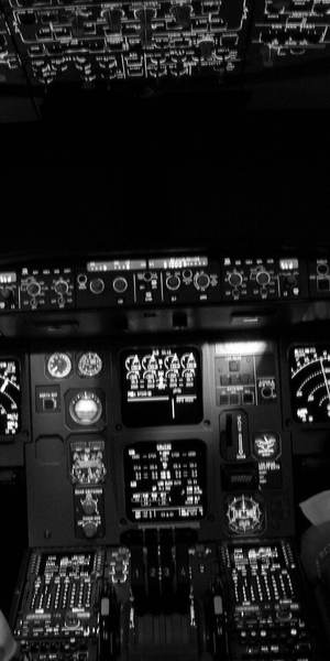
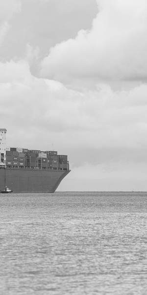
GPS jamming and spoofing are no longer confined to battlefields. Aircraft and ships now meet interference regularly around the Baltic Sea, the Black Sea, the eastern Mediterranean, the Middle East, the Persian Gulf and along other contested borders, and civil traffic that has nothing to do with any conflict flies straight through it.
Because radio signals cross borders, interference set off in one country routinely affects aircraft over its neighbours and in international airspace. In March 2025 the three UN agencies responsible for aviation, shipping and radio, ICAO, IMO and ITU, issued a joint statement of "grave concern" and asked governments to protect satellite navigation, keep conventional navigation aids as a backup and report interference. Europe's aviation safety agency EASA and Eurocontrol have since published a joint action plan, and the US FAA has revised its guidance for pilots.
Why satellite navigation is so easy to disrupt
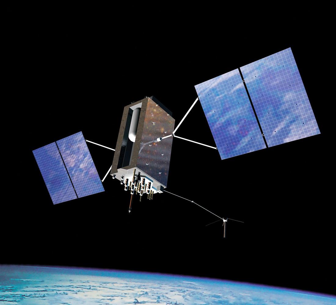
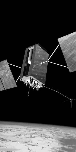
- The signals are extremely weak. GPS satellites orbit about 20,000 km up, and their signals arrive at roughly 10−16 watts, below the background radio noise. A transmitter on the ground or in the air needs very little power to drown them out over a wide area.
- Civil signals are open and predictable. The civil GPS signal's structure is published so any receiver can use it, which also means anyone can imitate it. Most receivers in service have no way to check that a signal really came from a satellite, which is what makes spoofing possible.
- So much depends on it. Beyond navigation, GNSS provides precise time to mobile networks, power grids and financial systems, and positions to ship tracking (AIS), aircraft surveillance (ADS-B) and terrain-warning systems. Interference can affect all of them at once.
- Spoofing can be silent. Jamming usually triggers warnings, but a well-spoofed receiver can report a confident, wrong position. Crews and systems may not notice until something no longer adds up.
Aircraft remain safe to fly without GPS: they carry inertial navigation and radio navigation, and crews are trained to cross-check. But every disruption adds workload, removes safety margins and costs time and fuel, and the number of reported incidents keeps rising.
Why aircraft make good sensors
Aircraft broadcast their position and its estimated accuracy about twice a second, and at cruising altitude they can receive interference from hundreds of kilometres away. Thousands of them are in the air at any time, and volunteers around the world receive their broadcasts and share them openly. Putting those reports on a map shows where interference is happening without any special equipment. The methodology explains how, and what the map cannot tell you.
In the news
- Skyband puts numbers to GPS jamming faced by business aviation, Aviation Week,
- US military jamming disrupted medical plane's GPS system before crash, ABC News,
- The epidemic of GPS jamming, Foreign Policy,
- Why planes are getting 'lost' due to GPS spoofing and jamming, RTÉ Brainstorm,
- US and Europe revise GPS interference guidelines as spoofing risks grow, AeroTime,
- Bulgaria confirms von der Leyen's plane was jammed during landing, European Pravda,
- Protect satellite navigation from interference, UN agencies urge (joint IMO, ICAO and ITU statement), IMO,
About the data. The map shows where aircraft reported low GPS accuracy, which is a strong sign of interference but not proof of it, and it cannot say who is responsible. It updates about every 3 hours and covers the previous 24. Read the limitations before drawing conclusions from a single hexagon.
Credits
Aircraft data from adsb.lol and adsb.fi, contributed by volunteers running ADS-B receivers, under the Open Database License. Basemap © MapTiler © OpenStreetMap contributors.
Photos from Wikimedia Commons, public domain or CC0:


