What causes GPS interference?
Last reviewed
GPS and other satellite-navigation signals are faint by the time they reach Earth. Radio interference can drown them out, while spoofing can replace them with convincing but false signals.
The causes below are possibilities, not diagnoses: this aircraft-report map cannot identify a transmitter, its operator or intent.
 Conflict jamming
read more ›
 Illegal jammers and spoofing
read more ›
 Space weather
read more ›
 Tests and exercises
read more ›
 Aircraft and equipment
read more ›
01 / Conflict
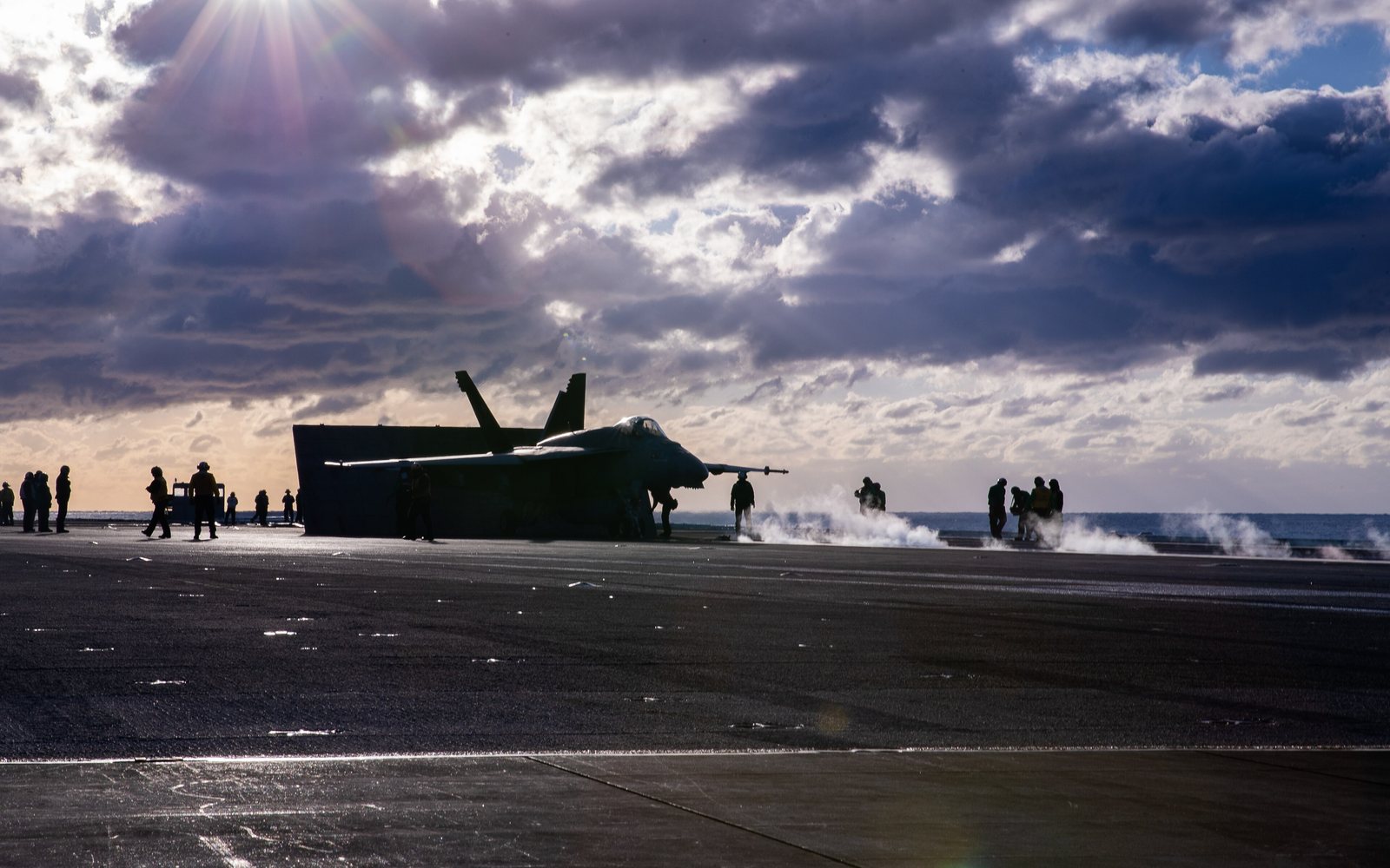
Conflict jamming
Military forces may jam or spoof satellite navigation around conflict zones and sensitive sites, to protect against drones and missiles that steer by satellite or to confuse an adversary. The affected footprint can cross borders and reach civilian aircraft and ships far from the source, which is why a war on one side of a border can show up on the aircraft-report map hundreds of kilometres away.
Conflicts linked to interference today
- The Russia–Ukraine war. Aircraft GPS-degradation events in the Black Sea, Caucasus, Eastern Europe and Baltic regions have been linked to zones affected by the war (Aviation Week, October 2026). See the Baltic Sea, Eastern Europe and Black Sea pages for today's figures.
- The Iran war and the wider Middle East. Interference around the Persian Gulf and wider Middle East during the Iran war has been reported, with jamming and spoofing attributed to multiple parties (Foreign Policy, June 2026). See the Middle East and Eastern Mediterranean pages.
These are dated reports, not a live assessment of hostilities or proof of who caused any particular map reading.
02 / Deliberate interference
Illegal jammers and spoofing
Small, unauthorised transmitters can overpower the weak signals received from navigation satellites. Vehicle jammers are one example; spoofing equipment can transmit counterfeit signals that make a receiver calculate a false position or time.
The map's aircraft reports can show an area of concern, but cannot tell whether the cause is deliberate or identify who is responsible. See the map's limitations.
03 / Natural effects
Space weather
Solar activity can disturb Earth's ionosphere, changing how satellite signals travel and sometimes degrading positioning, especially at high latitudes. This differs from a local radio jammer: space weather is a natural, broad-scale effect. NASA's space-weather visualization explains the phenomenon.
04 / Planned activity
Tests and exercises
Military training and authorised equipment tests can involve planned interference. Notices to pilots and maritime users may warn of scheduled activity, but a map pattern alone cannot distinguish a test from other causes.
05 / Aircraft
Aircraft and equipment
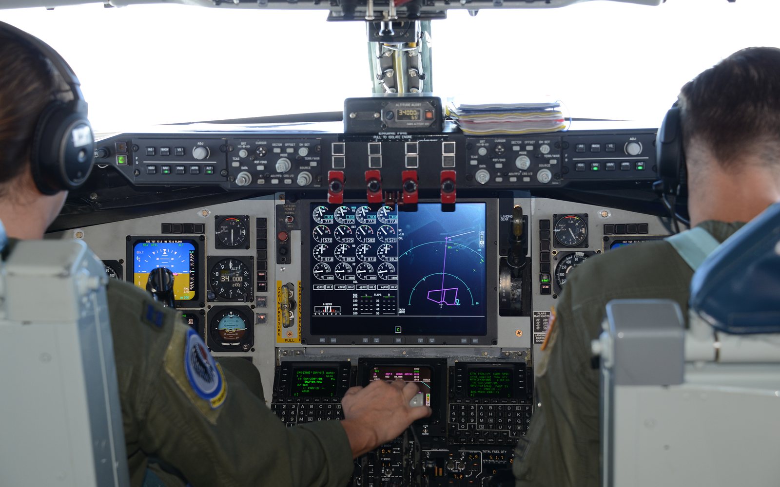
Faulty or older avionics, a receiver not connected to the transponder, or a temporarily blocked antenna can all lead an aircraft to report low GPS accuracy. That is why low accuracy is a sign of interference, not proof. Read how the map works and its limitations.
About attribution. The map measures aircraft-reported accuracy; it does not detect a jammer directly, distinguish jamming from spoofing or establish responsibility. Conflict descriptions above are linked to their dated reporting so they are not mistaken for live intelligence.