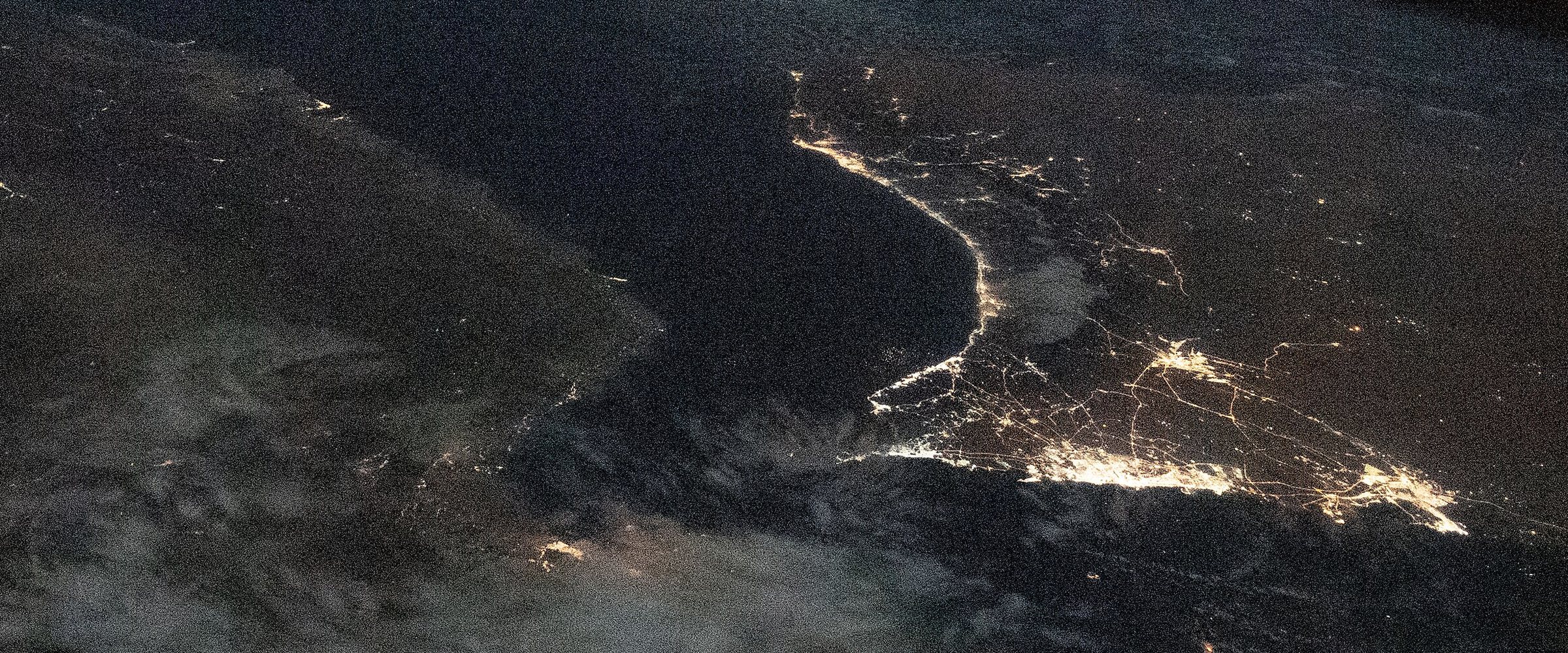
GPS jamming in the Persian Gulf today
Last updated:
Today in numbers
| Areas affected | Change | Affected areas | Aircraft readings |
|---|---|---|---|
| 79.8% | In the Persian Gulf, down 0.3 points on the previous stored day. | 87 | 22,855 |
The Persian Gulf today: 79.8% of monitored areas are affected. The worst named place in the Persian Gulf is Persian Gulf.
Recent days
Highest in this series for the Persian Gulf: October 25, 2026, 88.0%.
| Day | Areas affected |
|---|---|
| Oct 25 | 88.0% |
| Oct 26 | 63.5% |
| Oct 27 | 76.7% |
| Oct 28 | 67.9% |
| Oct 29 | 58.5% |
| Oct 30 | 87.2% |
| Oct 31 | 80.2% |
| Nov 1 | 79.8% |
Most affected areas
| Place | Share affected | Aircraft affected |
|---|---|---|
| Persian Gulf | 70.3% | 45 of 64 |
| Doha | 42.9% | 9 of 21 |
| Kuwait City | 36.8% | 28 of 76 |
| Persian Gulf | 18.5% | 28 of 151 |
| Persian Gulf | 15.8% | 3 of 19 |
Who is affected
The Persian Gulf: the traffic this page is read against includes Dubai, Doha, Bahrain and the Strait of Hormuz.
Background
The Gulf and the Strait of Hormuz carry dense airline and tanker traffic. Reporting describes jamming and spoofing around Hormuz during the Iran war (Foreign Policy, June 2026). For the reporting on interference in Persian Gulf, and who it is attributed to, see: Middle East.
Only hexagons whose centre lies inside the Persian Gulf's borders are counted, so hexagons in neighbouring countries and out at sea are left out. The map is framed on 23.5 to 30.5 and 47.5 to 57.
Questions
How much of the Persian Gulf is affected today?
In the latest update, 79.8% of monitored areas in the Persian Gulf are affected, across 87 areas, from 22,855 aircraft readings.
Which places in the Persian Gulf look worst?
Named places in the Persian Gulf are cells with at least 10 aircraft. The traffic most exposed includes Dubai, Doha, Bahrain and the Strait of Hormuz.
Is the Persian Gulf map live?
The the Persian Gulf map is rebuilt once a day from the previous UTC day's flights, at about 04:40 UTC. It is not a live feed.
By altitude
The Persian Gulf: All altitudes: points to a powerful, wide-area source. How this is read.
| Altitude | Aircraft | Share affected |
|---|---|---|
| Below 5,000 ft | 2,825 | 7.9% |
| 5,000 to 15,000 ft | 5,101 | 5.9% |
| 15,000 to 30,000 ft | 8,437 | 5.8% |
| Above 30,000 ft | 12,910 | 6.4% |
Nearby
Pages near the Persian Gulf: Middle East, Iran, Iraq, Syria, Jordan.