伊朗遭袭后,海湾地区 GPS 干扰激增
2026年2月28日至2026年3月7日 · 冲突 · 最后更新:2026年11月10日
美国和以色列于2026年2月28日开始袭击伊朗后,航运分析机构报告海湾地区有 1,100 多艘船只的 GPS 或 AIS 定位受到干扰。
来源:GPSInterference.com,https://gpsinterference.com/zh/reports/2026-02-28-iran-war-gulf-gnss-surge。注明此来源并附上链接即可自由再利用。
发生了什么
美国和以色列于2026年2月28日开始袭击伊朗。[1]
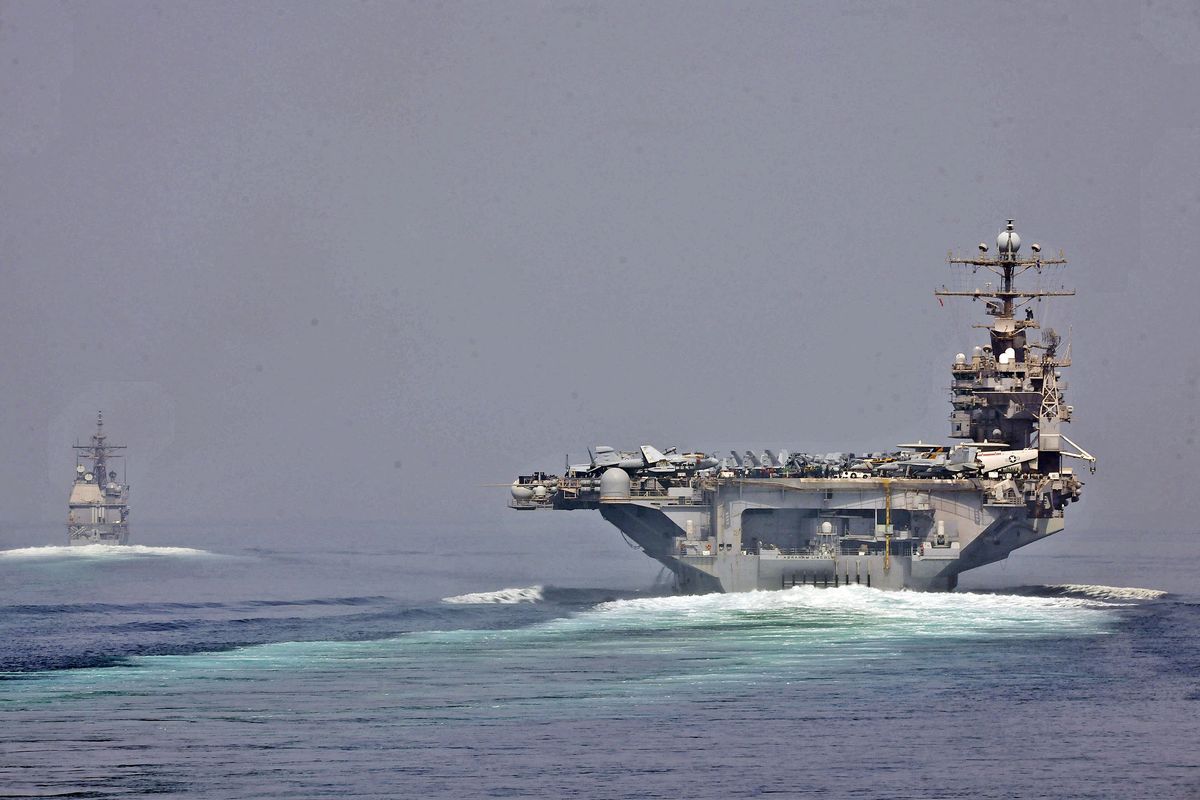
海事分析公司 Windward 表示,此后几天海湾地区有 1,100 多艘船只的 GPS 或 AIS 位置受到干扰,有的显示在内陆、机场和一座核电站。[1][2]
Joint Maritime Information Center 在3月1日的通告中称局势危急,并报告霍尔木兹海峡入口、阿曼湾和海湾南部出现严重的 GNSS 干扰。[1]
导航测试公司 Spirent 的杰里米·本宁顿表示,有数百个航班受到影响,随着航班取消,这一数字有所下降。[1]
本地图显示了什么
本地图显示的是报告 GPS 定位精度低的飞机,并不显示是谁或什么造成的。一天指完整的 UTC 一天,因此短暂的事件可能被冲淡。
船舶使用 AIS 而不是 ADS-B,因此本地图显示的是同一水域上空的飞机,而不是船舶本身。
- 受影响比例
- 100%
- 高干扰六边形
- 15 个中的 15 个
- 30 天平均值
- 12%
- 为 30 天平均值的 8.7 倍
检查的其他区域
| 区域 | 日期(UTC) | 比例 | 高干扰 | 30 天平均值 |
|---|---|---|---|---|
| UAE and Qatar coast | 2026年3月3日 | 100% | 21 个中的 21 个 | 6% |
按高度
| 高度 | 测得的六边形 | 高干扰 | 比例 | 30 天平均值 |
|---|---|---|---|---|
| 5,000 英尺以下 | 6 | 6 | 100% | 16% |
| 5,000–15,000 英尺 | 8 | 8 | 100% | 16% |
| 15,000–30,000 英尺 | 9 | 7 | 78% | 13% |
| 30,000 英尺以上 | 5 | 5 | 100% | 4% |
核对的每一天
| 日期(UTC) | 测得的六边形 | 高干扰 | 比例 |
|---|---|---|---|
| 2026年2月28日 | 56 | 5 | 9% |
| 2026年3月1日 | 8 | 3 | 38% |
| 2026年3月2日 | 13 | 10 | 77% |
| 2026年3月3日 | 15 | 15 | 100% |
| 2026年3月4日 | 13 | 13 | 100% |
| 2026年3月5日 | 15 | 15 | 100% |
| 2026年3月6日 | 16 | 16 | 100% |
| 2026年3月7日 | 19 | 19 | 100% |
逐日情况
| 日期(UTC) | 比例 |
|---|---|
| 2026年2月14日 | 9% |
| 2026年2月15日 | 5% |
| 2026年2月16日 | 3% |
| 2026年2月17日 | 12% |
| 2026年2月18日 | 14% |
| 2026年2月19日 | 13% |
| 2026年2月20日 | 14% |
| 2026年2月21日 | 7% |
| 2026年2月22日 | 7% |
| 2026年2月23日 | 20% |
| 2026年2月24日 | 8% |
| 2026年2月25日 | 7% |
| 2026年2月26日 | 7% |
| 2026年2月27日 | 12% |
| 2026年2月28日 | 9% |
| 2026年3月1日 | 38% |
| 2026年3月2日 | 77% |
| 2026年3月3日 | 100% |
| 2026年3月4日 | 100% |
| 2026年3月5日 | 100% |
| 2026年3月6日 | 100% |
| 2026年3月7日 | 100% |
| 2026年3月8日 | 100% |
| 2026年3月9日 | 100% |
| 2026年3月10日 | 100% |
| 2026年3月11日 | 100% |
| 2026年3月12日 | 100% |
| 2026年3月13日 | 100% |
| 2026年3月14日 | 100% |
| 2026年3月15日 | 100% |
| 2026年3月16日 | 100% |
| 2026年3月17日 | 100% |
| 2026年3月18日 | 100% |
| 2026年3月19日 | 100% |
| 2026年3月20日 | 100% |
| 2026年3月21日 | 100% |
| 2026年3月22日 | 93% |
| 2026年3月23日 | 100% |
| 2026年3月24日 | 100% |
| 2026年3月25日 | 94% |
| 2026年3月26日 | 100% |
| 2026年3月27日 | 100% |
| 2026年3月28日 | 100% |
视频
其他方面的说法
- Ami Daniel
It's becoming very dangerous to go in and out.
- Jeremy Bennington
There are at least six new spoofing signatures in the Middle East
- CNBC
报道称,Windward 在冲突最初 24 小时内记录到 1,100 多艘位置受扰的不同船只。 - Joint Maritime Information Center
在袭击开始的次日称海上局势危急。
背景
来源
- WIRED, Matt Burgess. GPS attacks on ships spike amid the US and Israeli war on Iran, 2026年3月2日.
- CNBC, Matthew Chin. Electronic warfare in the Persian Gulf: How GPS interference is disrupting the Middle East, 2026年3月26日.
- CNN. Report on GPS jamming of ships and planes during the Iran war, 2026年3月6日.
- OCCRP. More than 1,100 ships hit by widespread GPS disruption after Iran strikes.
引用本报告
GPSInterference.com(2026). 伊朗遭袭后,海湾地区 GPS 干扰激增. 报告,2026年11月10日,更新于 2026年11月10日。https://gpsinterference.com/zh/reports/2026-02-28-iran-war-gulf-gnss-surge。数据:adsb.lol ADS-B,方法 v2。BibTeX
@misc{gpsinterference_2026_02_28_iran_war_gulf_gnss_surge,
  author = {{GPSInterference.com}},
  title = {GPS interference surges in the Gulf after strikes on Iran},
  year = {2026},
  howpublished = {\url{https://gpsinterference.com/reports/2026-02-28-iran-war-gulf-gnss-surge}},
  note = {Report, updated 2026-11-10. Data: adsb.lol ADS-B, method v2}
}