GPS spoofing off Long Beach during a military test window
30 January 2026 · Military test · Last updated 10 November 2026
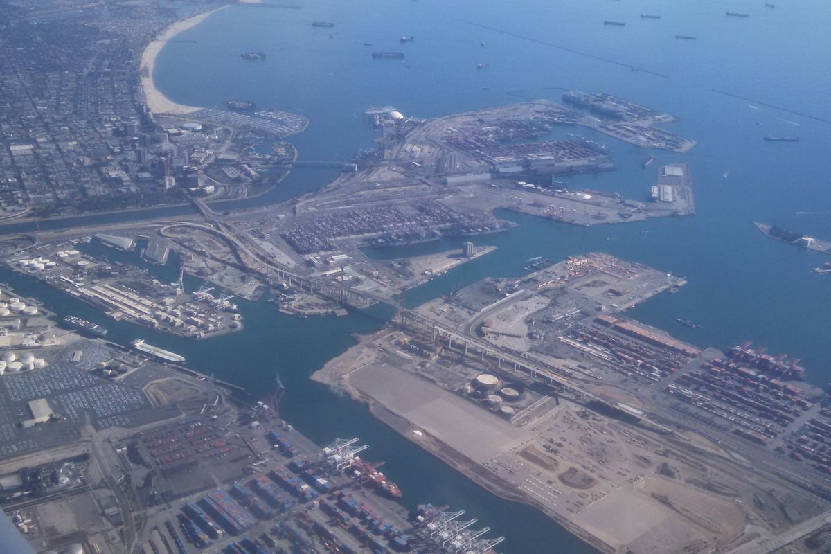
Ships approaching Long Beach reported GNSS outages and position jumps on the night of 29 January 2026. The Coast Guard named a GPS test as the likely cause.
Source: GPSInterference.com, https://gpsinterference.com/reports/2026-01-30-long-beach-spoofing-gps-test-window. Free to reuse with this credit and a link.
What happened
Ships approaching Long Beach reported GNSS outages to the Los Angeles/Long Beach Vessel Traffic Service between 23:00 and midnight local time on 29 January 2026 (07:00–08:00 UTC on 30 January).[1][2]
AIS data from at least 7 vessels showed position jumps that the authors of an Inside GNSS analysis describe as indicative of spoofing, across an area more than 100 miles wide.[1]
Minutes of the local Harbor Safety Committee say Coast Guard personnel identified a GPS testing event as the likely cause.[1][2]
The authors name a Point Mugu Sea Range test, PMSRCA GPS 26-02, scheduled daily from 07:00 to 14:00 UTC on 27 January to 31 January, as the most likely source, while saying the data does not provide certainty.[1][3]
What our map showed
Our map shows aircraft reporting low GPS position accuracy. It does not show who or what caused it. A day is a full UTC day, so short events can be diluted.
Spoofed aircraft can broadcast confident but wrong positions, so spoofing doesn't always lower reported accuracy.
Ships use AIS, not ADS-B, so our map shows aircraft over the same waters, not the ships themselves.
- Affected share
- 33%
- High-interference hexagons
- 15 of 45
- 30-day average
- 28%
- About the same as the previous 30 days
By altitude
| Altitude | Measured hexagons | High | Share | 30-day average |
|---|---|---|---|---|
| below 5,000 ft | 31 | 20 | 65% | 53% |
| 5,000–15,000 ft | 34 | 6 | 18% | 10% |
| 15,000–30,000 ft | 43 | 0 | 0% | 1% |
| above 30,000 ft | 40 | 0 | 0% | 0% |
Each day checked
| Day (UTC) | Measured hexagons | High | Share |
|---|---|---|---|
| 29 January 2026 | 45 | 15 | 33% |
| 30 January 2026 | 45 | 14 | 31% |
Day by day
| Day (UTC) | Share |
|---|---|
| 23 January 2026 | 36% |
| 24 January 2026 | 40% |
| 25 January 2026 | 33% |
| 26 January 2026 | 31% |
| 27 January 2026 | 33% |
| 28 January 2026 | 33% |
| 29 January 2026 | 33% |
| 30 January 2026 | 31% |
| 31 January 2026 | 29% |
| 1 February 2026 | 29% |
| 2 February 2026 | 30% |
What others said
- Harbor Safety Committee minutes
were able to identify a GPS testing event as the likely cause
- James Haley and Dana A. Goward
While GPS testing is a regular occurrence, interference like that of Jan 29, 2026, is quite rare.
- James Haley and Dana A. Goward
Say the United States has not established a viable alternative to GPS for positioning and timing. - FAA Safety Team
Announced GPS interference testing at Point Mugu from 27 January to 2 February.
Context
- Region page: United States
- This day's page: 29 January 2026
- Possible causes: Tests and exercises
- Official notice: FAA PMSRCA GPS 26-02, GPS interference testing at Point Mugu, CA (FAASTeam notice NOTC4801), 27–31 Jan 2026, daily 07:00–14:00 UTC, as quoted by Inside GNSS.
Sources
- Inside GNSS, Captain James Haley and Captain Dana A. Goward. LA/Long Beach VTIS Records Spoofing Event in January 2026 GPS Test Window, 10 June 2026.
- gCaptain, Capt. James Haley and Dana A. Goward. GPS Interference Off California Offers Warning for Global Shipping, 1 July 2026.
- FAA Safety Team. Notice NOTC4801: GPS Interference Testing at Point Mugu, CA 27 JAN - 02 FEB, 22 January 2026.
Cite this report
GPSInterference.com (2026). GPS spoofing off Long Beach during a military test window. Report, 10 November 2026, updated 10 November 2026. https://gpsinterference.com/reports/2026-01-30-long-beach-spoofing-gps-test-window. Data: adsb.lol ADS-B, method v2.BibTeX
@misc{gpsinterference_2026_01_30_long_beach_spoofing_gps_test_window,
  author = {{GPSInterference.com}},
  title = {GPS spoofing off Long Beach during a military test window},
  year = {2026},
  howpublished = {\url{https://gpsinterference.com/reports/2026-01-30-long-beach-spoofing-gps-test-window}},
  note = {Report, updated 2026-11-10. Data: adsb.lol ADS-B, method v2}
}